The History of Pompey

Every street has a story. Here are some of the best.

Gunwharf used to be the sea, Albert Road had a different name, and Milton was a farming village. Here's how our island became the Pompey we know today.

Through the years

Pick a year, any year

Stories you won't believe

Wait, that was there?

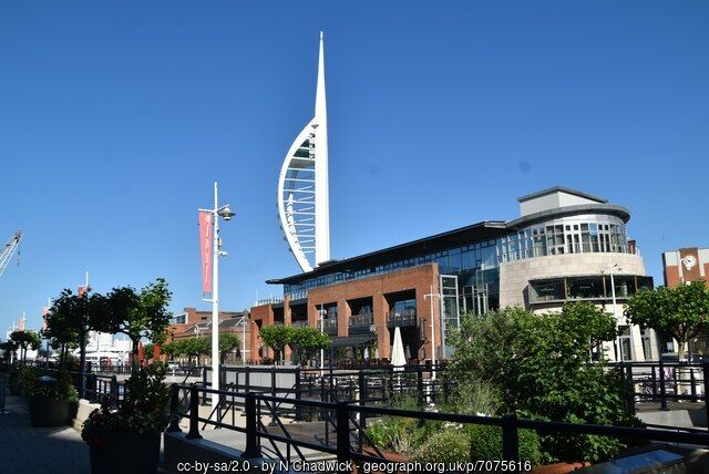
Gunwharf Quays and the Spinnaker Tower today
c.1706Gunwharf Quays

Gunwharf used to be the sea

Next time you're grabbing a coffee at Gunwharf, have a think about this: until the early 1700s, most of it was mud flats you could only see at low tide. Around 60,000 square yards of mud were walled in and filled with earth, pushing the shoreline about 350 yards into the harbour. And my office is right there at Gunwharf. Mad.
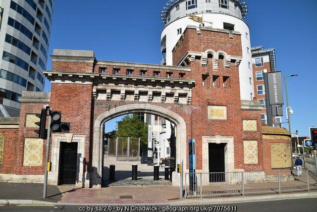
The former main gate to HMS Vernon at Gunwharf
1923HMS Vernon

Torpedoes before shopping bags

Those torpedoes and mines dotted round Gunwharf aren't just decoration. The Navy's mine and torpedo schools moved ashore here, and on 1 October 1923 the whole site became the Vernon Shore Establishment. It closed in the 1990s, and the shops and flats we know today were built on top.

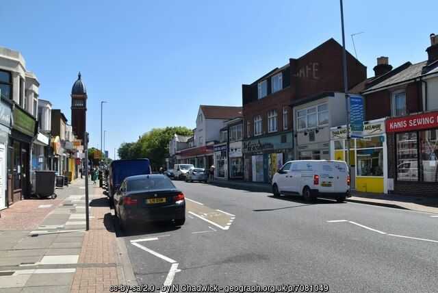
Albert Road, Southsea, today
1845Albert Road, Southsea

Albert Road was once Wish Road

On architect Thomas Ellis Owen's 1845 map of Portsmouth, Albert Road is called Wish Road. "Wish" comes from the Old English for meadow, and back then that's exactly what it was: fields and farmland. Now it's bars, gigs and kebabs. Progress.

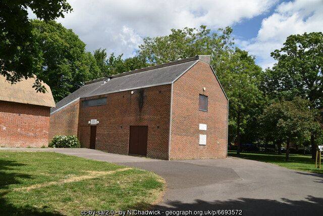
Milton Park, Portsmouth
1722Milton

Milton, the last farming village

While the rest of the island filled up with houses for dockyard workers, Milton kept farming. Its land was perfect for crops and market gardens, and someone had to feed the growing city. Its modern story starts in 1722, when future mayor John White bought the manors of Milton and Eastney.

Photos of Gunwharf, HMS Vernon gate, Albert Road and Milton Park: N Chadwick, Geograph, CC BY-SA 2.0.